
Paterson Neighbors Around One Block
Public records answer different block questions. The county parcel layer is the strongest documented way to move from one Paterson address to adjoining parcels. Tax and deed records can provide ownership context, but an ownership field is not proof that the owner lives there. Voter material is also narrower than a list of everyone nearby. Start with the source that matches the question and leave any unsupported household conclusion out of the result.
| Source | What It Shows About a Block | Access |
|---|---|---|
| Passaic County GIS Parcel and Block | Adjacent polygons, PIN, block and lot, address, and planning attributes | REST Identify and Query; planning data, not a survey |
| Property tax search | Assessment and owner, mailing, or situs fields if the live tool exposes them | Official Board of Taxation entry page; direct interface details were not captured |
| PRESS | Recorded deeds, liens, and ownership instruments by parcel or party | Free index; name, date, document-type, block-and-lot, and instrument routes |
| Voter registry list | Statutory voter fields for an election district | County request process, fee and advance notice, with redactions |
| PCHS pink street pages | Historical occupants at numbered addresses | In-person or mail research; directory-year gaps apply |
| Paterson Alliance and NJCDC | Organization-level community connections and neighborhood planning context | Public organization pages, not a household roster |
For city records that may add address context, the City of Paterson department directory routes requests to the City Clerk, planning, code, and assessor offices. Those offices hold different kinds of records, and no public citywide resident index was located.
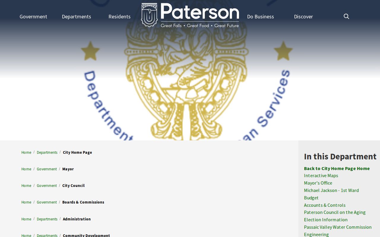
The department listing is a routing tool for a specific record request, not a block-by-block list of neighbors.
Map Paterson Neighbors Parcel by Parcel
The Passaic County GIS REST service has Parcel and Block layers and supports Identify, Query, Find, and Export Map operations. Locate the address, use Identify on its polygon, then click the polygons that actually touch it. Record the PAMS_PIN or GIS_PIN, block, lot, and property location before moving to a tax or deed record.
- Locate the known Paterson address and confirm the municipality before treating the parcel as the target.
- Identify the target polygon and note its PIN, block, lot, property location, and any displayed deed fields.
- Click each adjoining polygon instead of assuming that every address on a named street is an immediate neighbor.
- Compare each parcel key with the official tax-search entry point and, when needed, the relevant recorded instrument in PRESS.
- For a full named-street history rather than an immediate block, use the Paterson street directory record chain.
This is a discovery flow: address to parcel, parcel to block and lot, then block and lot to tax or deed confirmation. A map polygon can be outdated and does not settle a boundary dispute. Treat it as the bridge between a street address and the more stable parcel identifiers.
Paterson GIS Fields Need Verification
The county parcel schema includes owner name, street address, municipality, ZIP, block, lot, property class, values, deed book and page, deed date, sale price, and building attributes. It also has ZIP_CODE and ZIP5 fields. These details can help distinguish parcels across a block, but the county describes the geometry as a planning representation assembled from digitized tax-map material, not a legal determination.
The property location, or situs, is the parcel being assessed. An owner's mailing address is a correspondence address and can point to a trust, entity, or older contact record. Neither field establishes that a named person currently occupies the parcel. New Jersey hosted parcel data can also redact protected owner names under Daniel's Law.
Use the NJGIN parcel resource for its documented address, county, municipality, block, and lot search routes, while noting its edge-matching and redaction cautions. The live county tax-search field set was not available during research, so do not assume it accepts an owner, ZIP, or street-only filter until the interface confirms it.
Note: A parcel field is a starting point for confirmation, never a complete picture of who belongs to a block.
Paterson Neighbor Voter Records Limits
New Jersey's public Am I Registered? route confirms status. It is not a public bulk address or street browser. Under Title 19, registry-list material can have defined name, address, date-of-birth, party, and voting-history fields, but signatures, ID numbers, phone and email data, and protected addresses are not open for ordinary use. A list can also miss unregistered adults and other household members.
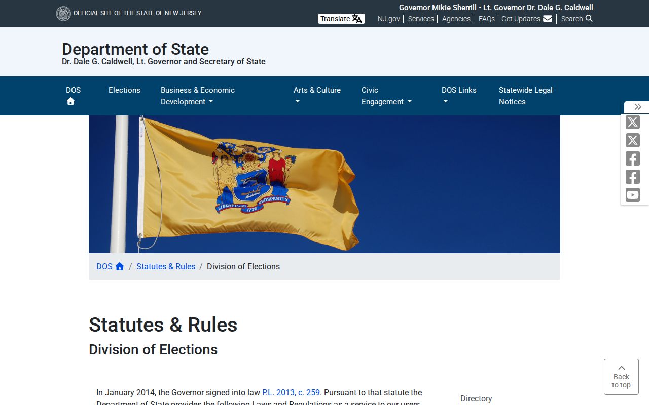
The New Jersey voter-registry statute page supports the access limits shown in this official-source view.
For a permitted registry-list request, the County Clerk Elections Division at 401 Grand Street, Room 130, takes advance requests and lists 973-881-4127. The Superintendent of Elections at 501 River Street holds voter records and registration functions. Confirm current format, scope, and fees before ordering; the research did not locate a downloadable full-file request form.
Paterson Neighborhood Names in Records
Paterson's strategic plan gives useful geographic language for a block search. It names Upper Eastside/Park, Manor Section, South Paterson, Lakeview, Hillcrest, People's Park, Wrigley Park, Sandy Hill, Northside, and Totowa Section, with ward and boundary clues. A neighborhood name can help choose a local-history source, but it is not a parcel boundary and it should never be used to infer an individual's identity or background.
For older blocks, pink street pages at PCHS pair a street and number with occupants in available directory years. Historic addresses may use a different street name, ward term, or numbering scheme. Bridge an old and current address only with a deed, filed map, Sanborn sheet, municipal record, or neighboring parcel evidence. No complete official citywide renumbering table was located.
Paterson Community Resources by Area
Community resources can make a neighborhood legible without becoming a private roster. The sources below identify public organizational or planning connections. Current boundaries, meeting schedules, membership procedures, and household directories were not fully located for every group, so those details should not be guessed.
| Resource | Public record value | Documented limit |
|---|---|---|
| Paterson Alliance | Organization member database with civic and institutional connections | Provides organization-level contacts, not a household or member roster |
| Great Falls Neighborhood Plan / NJCDC | Resident-led planning context for the Great Falls area | Public contact and goals, not a participant list |
| Eastside Neighborhood Association | Documented in a 2016 City Council agenda | Current boundary, schedule, membership process, and public directory were not located |
| Historic Preservation Commission | Historic-district and preservation record route | Not a current-neighbor directory |
| Paterson strategic plan | Neighborhood and ward descriptions | Does not provide a complete association inventory |
The Paterson Alliance member page is the source for the organization-network view below.

The named network can point to a civic or institutional contact for a neighborhood question. It should not be read as a list of the neighbors who live on a block.
Paterson Neighbors and Public Sources
Official block sources have defined custodians, field limits, and correction routes. Commercial neighbor-search products may combine addresses with mixed public material, but they can merge people, carry stale data, and offer no official correction path. A result from that category does not replace a GIS adjacency check, a tax or deed confirmation, or a public community contact.
| Source type | Best use | Limit to remember |
|---|---|---|
| County GIS and tax records | Parcel location, block and lot, assessment context | Owner or mailing fields do not prove occupancy; GIS is not a survey |
| PRESS and Registry records | Recorded transfers and legal instruments | Not a title search and not a roster of residents |
| County voter-list process | Defined statutory voter material where permitted | Does not represent all people on a block and carries redactions |
| Public community organizations | Civic and neighborhood context | Organization contacts do not establish household membership |
| Commercial neighbor-search category | At most, a prompt for an official verification | Mixed data can be wrong, stale, or joined to the wrong person |
Keep the evidence chain narrow: one address, the parcels that touch it, and the official records that support a specific fact. That method is more reliable than assembling a broad list from unrelated address matches.
Paterson Neighbors Privacy Protections
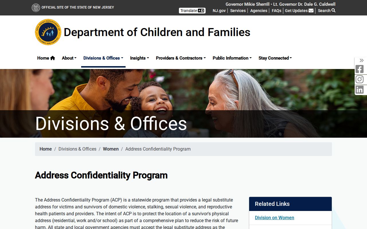
New Jersey's Address Confidentiality Program gives eligible people a legal substitute address and mail-forwarding service when they have a safety-related need. It cannot erase an address already lawfully recorded in a deed, but it limits future exposure through the program. Public parcel, voter, and other record systems can therefore contain redactions or omit protected information.
The New Jersey Address Confidentiality Program explains the protection shown in this official-source image.
Address suppression is not a sign that a search failed. It is a privacy safeguard that needs to remain in place.
Daniel's Law and the Office of Information Privacy provide the official protection and redaction route for covered people and their immediate families.
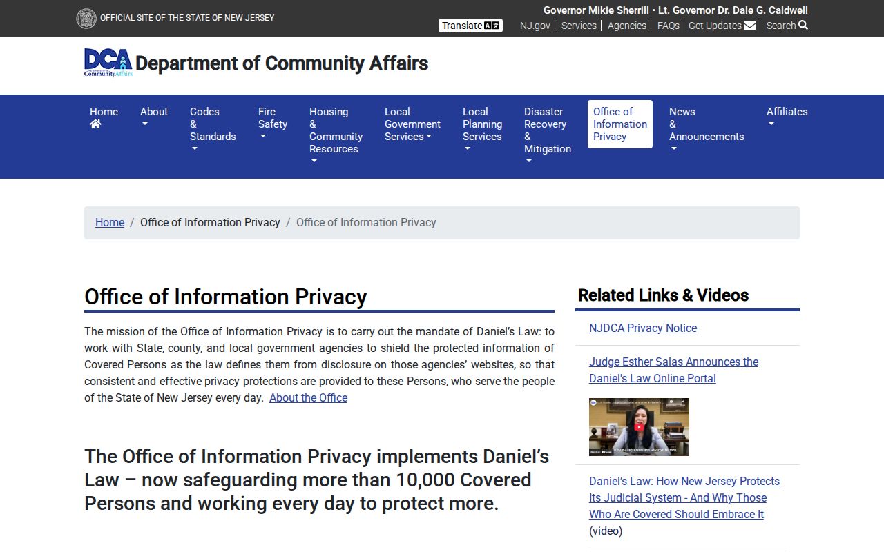
Daniel's Law protections can also affect owner-name display in NJGIN-hosted parcel and tax data. Do not seek to work around a redaction through other records.
Lawful Paterson Neighbor Research
Neighbor research is appropriate for a personal block question, family history, civic context, or a property record that needs confirmation. It is not a license to monitor, intimidate, contact repeatedly, or expose a protected person. New Jersey's current statutes identify stalking at N.J.S.A. 2C:12-10 and harassment at N.J.S.A. 2C:33-4; check the current statute text when a legal question arises.
When a record looks suspicious, verify it with the custodian instead of reacting to a letter, message, or copied address. A deed-related concern can be checked by instrument number in PRESS and with the County Clerk Registry. For a threatening message, preserve the evidence and use the appropriate official safety or police route.