
Tracing a Paterson Street by Address
The first task in a Paterson street directory search is to convert the street address into the identifiers used by county records. Find the mapped parcel, then note its municipality, PIN, block, lot, and property-location field. Those keys are more durable than an address alone. They connect the street location to the tax route and the recorded deed index. A parcel owner or mailing field is useful context, but it does not prove that person is currently at the site.
Work through one address at a time. Paterson has old street names, ward language, and numbers that may not align perfectly across a map, deed, and historical directory. When the current number does not match an older source, use a filed map, legal description, Sanborn sheet name, municipal record, or neighboring parcel geometry to test the connection. Mark an unproven address equivalence as an inference.
- Use the County GIS parcel layer or the official tax-search entry point to locate the Paterson address.
- Copy the PIN, block, lot, property location, and any recorded deed reference before changing systems.
- Search PRESS by block and lot, name, document type and date, or instrument number as the evidence allows.
- For a limited registration lead, use the state status tool or the correct county list-request channel, not a street-wide status search.
- For an earlier household, check PCHS pink street pages and compare them with census, Sanborn, obituary, and deed evidence.
Paterson GIS Fields Shape a Street Directory
Passaic County’s GIS Block/Parcel Image REST service is the strongest documented address tool for the Paterson street directory. It supports map browsing, Query, Identify, Export Map, and parcel or block layers. Click a polygon, record the identifiers, and then move to the tax or deed record. The service metadata notes a 2,000-record maximum with pagination. It is designed for planning and mapping, so its boundary and owner information must not be treated as a legal survey.
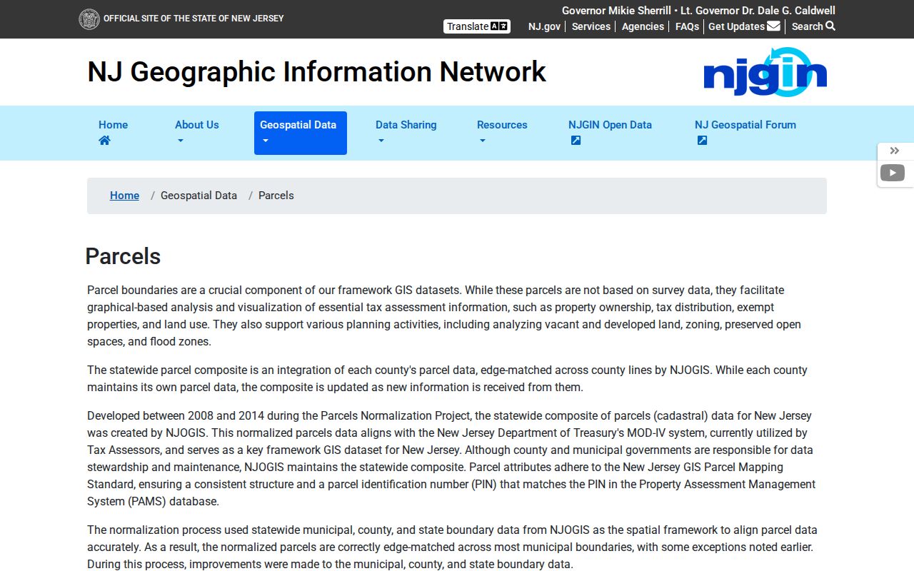
The live County Board of Taxation search interface was not exposed during research. Its official entry page is still the correct place to begin, but exact field labels, required status, result columns, and filters need live verification. The statewide NJGIN parcel route does document address, county, municipality, block, and lot searches. It also warns that cross-county parcel edges may not match and that Daniel’s Law redactions can suppress protected owner names.
| Paterson address key | County GIS field | How it carries a search |
|---|---|---|
| Property location | ST_ADDRESS, PROP_LOC, CITY_STATE, ZIP_CODE | Locates the mapped street parcel |
| Municipality | MUN_NAME or PCL_MUN | Separates Paterson from other county places |
| Block and lot | PCLBLOCK and PCLLOT | Connects a parcel to the PRESS block/lot route |
| Owner field | OWNER_NAME | Provides an ownership lead, subject to redaction |
| Deed detail | DEED_BOOK, DEED_PAGE, DEED_DATE | Points toward the recorded-instrument trail |
The New Jersey parcel-search page is shown below. It is a cross-check for land identifiers, not a list of every person at an address.
Keep the parcel notes with the date searched. GIS fields can be updated, and a protected field may be absent by design.
Paterson PRESS Turns Parcels Into Deed Trails
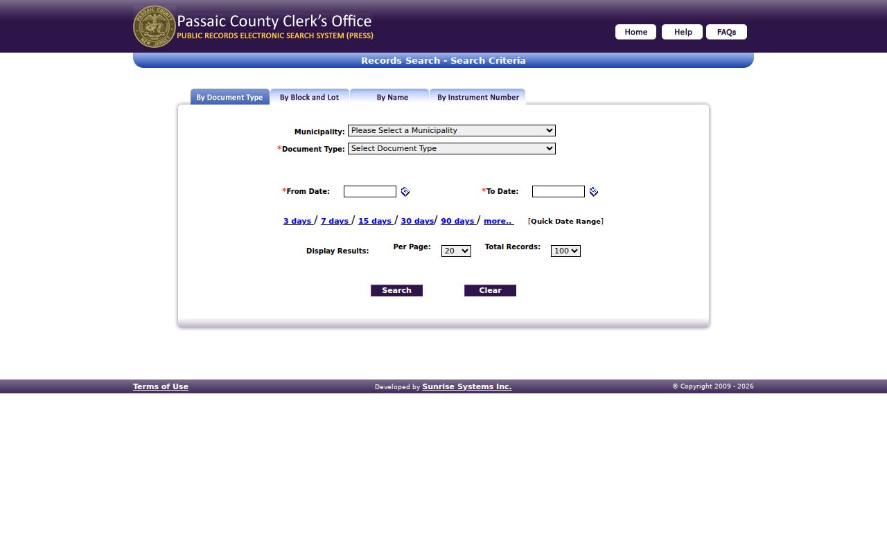
PRESS is the Passaic County Clerk’s recorded-land layer. Search it by name, block and lot, document type and date, or instrument number. For an address trail, start with the parcel’s current owner or grantee and its block, lot, or legal description. A matching deed may show the grantor, grantee, instrument number, recording date, document type, consideration if displayed, book or page reference, and image availability. Search the seller as an earlier grantee to move back one transfer at a time.
Online scope has two important parts. The portal describes general records from December 1, 2000 forward, while the county land-records page describes deed and mortgage images from 1989. Conversion of older material continues. When the online sequence ends, use the Registry Division counter at 77 Hamilton Street, archived books or microfilm, or a title searcher for a legal chain. The Clerk says it does not perform title searches and does not record surveys.
The official PRESS search form shows the name, document-type, block/lot, and instrument paths.
A free County Property Fraud Warning System alert can also be checked by its instrument number in PRESS. An alert identifies a recorded filing to review, not a conclusion about that filing.
Paterson Street Records at a Glance
A Paterson street directory combines records that are keyed differently. GIS and tax material start from the physical parcel. PRESS starts from recorded parties or land identifiers. City permit and code material may be address-linked but does not have a verified public case search. Voter information follows election rules rather than a full-street browse. The following sources can be checked in sequence without pretending they describe the same thing.
| Address-keyed source | Paterson keeper | What it may show | Access channel |
|---|---|---|---|
| Tax or assessment card | Municipal assessor / Board of Taxation | Parcel, values, class, and owner, mailing, or situs fields if displayed | Official entry point; direct interface needs verification |
| County GIS parcel map | Passaic County GIS | Geometry, address, block/lot, owner and deed attributes | REST Identify or Query, not a survey |
| Recorded deeds and liens | County Clerk Registry | Parties, instrument, recording dates, and legal description | Free PRESS index and Registry counter |
| Filed map | County Clerk Registry | Subdivision, block/lot, and legal layout | PRESS document type or Record Room |
| Permit or code trail | City Planning, Zoning, UCC, or OPRA custodian | Specific notices or address records if releasable | City document center or focused request |
The block and lot often make the strongest link because they remain useful when a street number changes. A mailing field, by contrast, can point to correspondence for an owner or entity and should not be read as proof of personal presence.
Paterson Permit Records Need a Specific Request
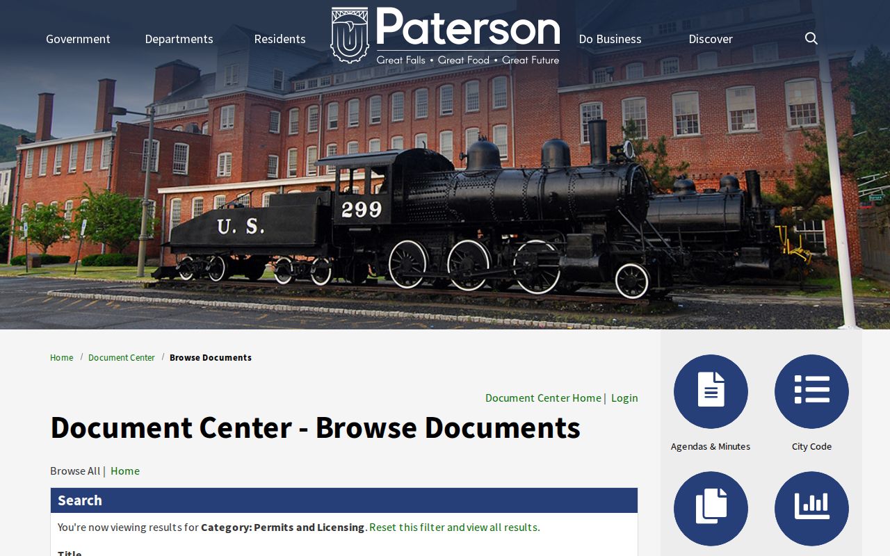
Paterson’s public document center is a filtered document repository, not a verified live permit-case search. Its documented filters include Title, Document Type, Department or Division, Category, Topic, and Year. The research session found permit-related notices but did not confirm a public POSSE case interface with address fields, record limits, or owner history. Do not assume an empty document-center search means there was no work or code activity at a property.
Planning and Zoning can route address questions at 973-321-1343. Community Improvements and UCC can route code or property-maintenance questions at 973-321-1232. A focused request should name the address, record category, and time period, then go to the proper city custodian under OPRA. City records may refer to an owner of record or an agent; those labels have their own purpose and are not a residents directory.
Paterson’s permit-related document-center category is the available public starting point.
Ask the city whether a particular record is held and releasable. That produces a better request than asking for an undefined property history.
Paterson Historic Streets Have Another Record Layer
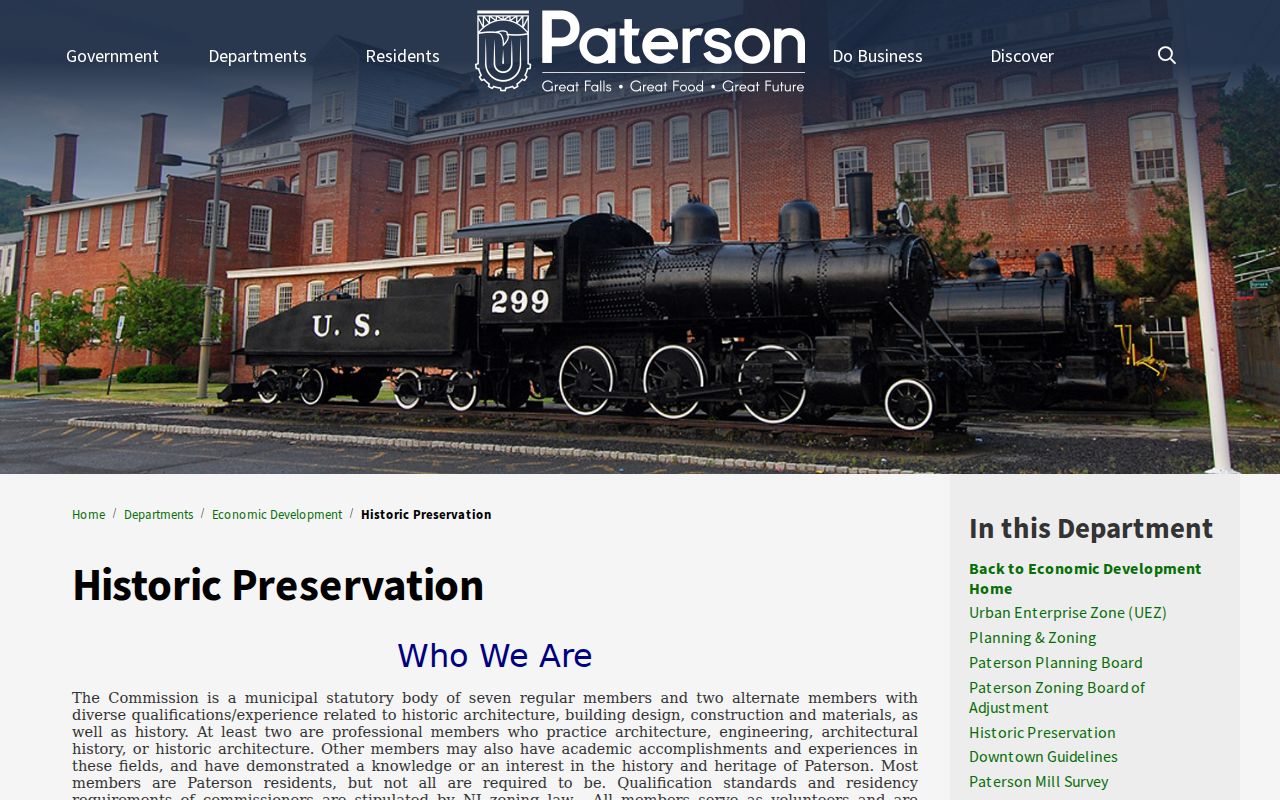
For an older Paterson street, historic-district and preservation material can explain a building’s setting or a change in its record trail. The Historic Preservation Commission publishes application and meeting information. It is not a household index, but it can provide a route to preservation-related records and local context. City records still need to be matched to the correct address, parcel, and period.
The Paterson Historic Preservation Commission page provides the official starting point for this municipal layer.
When the goal is historic occupants, the PCHS directory shelves remain the direct address-to-name source. Preservation files can help establish a building or district context around that search.
Paterson Street Pages Preserve Past Names
The Passaic County Historical Society’s Paterson directories are the local reverse-directory resource documented in research. Its current shelf lists 1915–20, 1922, 1925–50, 1952, 1954, 1956, 1958, 1960, 1962, 1964, and 1968. Pink street pages pair a named street and house number with occupants. Search the street section, then check the alphabetic listing for an alternate address or a spelling variation. Publication gaps matter, so a missing year should never be filled by guesswork.
Sanborn map runs from 1887, 1899, and 1915 add a building-use and street-name layer. Federal census schedules, deeds, obituaries, and PCHS church or cemetery resources help test whether a historical name belongs to the correct address. The Paterson directory book explains the collection coverage and reading method in depth.
- Parcel
- A mapped unit of land tied to county identifiers such as block, lot, or PIN.
- Situs address
- The physical property location used for assessment, which can differ from a mailing field.
- Plat or filed map
- A recorded map that can show subdivision or legal layout information.
- Criss-cross directory
- A directory section arranged by street and number instead of only by name.
Paterson Street Numbers Need Legal Keys
A street number is useful for finding a door, but county instruments often rely on municipality, block, lot, PIN, or a legal description. The County Clerk requires block and lot information on deeds, and a recorded map can explain a subdivision or a later lot change. When an old directory or map uses a number that no longer appears on a current address, preserve every version of the address and search the stable land identifiers before deciding they refer to the same place.
The city’s planning and engineering offices are logical address-authority contacts, yet research did not locate a separate public Paterson E911 assignment manual or a complete street-renumbering table. That is a real limit. Use a filed map, deed, Sanborn sheet, or municipal record as the bridge. A ZIP label is delivery geography and may not identify municipal jurisdiction, while a legal description may omit the postal label entirely.
Note: Keep an address worksheet with the street version, date, municipality, block, lot, PIN, and source for each apparent match.
Paterson Voter Lists Are Not Street Lists
New Jersey voter access has a public and confidential split. The state “Am I Registered?” tool confirms status; it is not a map of all registered people along a street. County registry-list access is controlled by Title 19 and has an office process. The County Clerk Elections Division says voter-registration and mail-in-ballot lists are available by fee and advance request. The Superintendent of Elections has custody of voter records, registration, party changes, and voter history.
Even a permitted registry list does not show a complete block. It excludes people who are not registered, people whose data is protected, and other household members. Signatures, identification numbers, phone numbers, and email are restricted. Use a voter entry as a dated registration fact and compare it with a parcel, deed, or historical directory before placing it in a street timeline.
Paterson Street Directory Privacy Limits
A Paterson street directory cannot reveal everyone at an address. Ownership records name recorded parties or assessment fields. Voter sources have statutory limits. Motor-vehicle information is controlled by the Driver’s Privacy Protection Act. Utility and customer accounts are not ordinary public search fields. Address Confidentiality Program participants, people covered by Daniel’s Law, protected voters, and sealed court material may be suppressed. An absent result can be a privacy protection, not a gap to defeat.
Lawful use. Use Paterson address records for personal, family-history, property, civic, or estate research. Do not use them to stalk, harass, intimidate, or expose a protected person.